Sky Metrics Services

Professional Drone Inspection & Mapping Services

We deliver fast, reliable aerial data for insurance, construction, energy, and surveying professionals.

If it's your first time, get a special benefit

Trusted by Industry Leaders

We deliver fast, reliable aerial data for insurance, construction, energy, and surveying professionals.

Insurance

Construction

Energy

Surveying

creaciondecont

Content Creation

servicerepacion

Repair Service

Insurance Companies

Drone Inspections for Claims, Risk Assessment & Four-Point Evaluations

Underwriting Inspections

We deliver high-resolution aerial documentation to help underwriters assess property risks accurately and make smarter decisions—faster and safer than traditional inspections.

Claims Inspections

Speed up claims processing with reliable, time-stamped drone footage. Our inspections provide clear visual evidence to support efficient and fair claim evaluations.

Four-Point Inspections

Drone inspections focused on roof, electrical, HVAC, and plumbing systems—ideal for policy issuance and renewals.

Four-Point Inspections

Drone inspections focused on roof, electrical, HVAC, and plumbing systems—ideal for policy issuance and renewals.

Electrical Contractors

Improve Safety & Efficiency with Drone Inspections

Powerline Inspections

Drone-powered aerial inspections of powerlines to detect faults, corrosion, or vegetation interference—enhancing safety and operational uptime.

Electric Tower Inspections

Perform safe, high-precision inspections of towers. Avoid human risk and detect issues early with HD imagery and thermal sensors.

Contratistas eléctricos

Construction Companies

Faster Site Assessments & Visual Documentation with Drones

Roof Inspections

Quick, accurate roof inspections for maintenance, sale evaluation, or insurance claims—no scaffolding needed.

Surveyors & Construction Professionals

High-Precision Drone Mapping & Modeling for Large Projects

Aerial Mapping

Capture large-scale terrain with centimeter-level accuracy. Ideal for topographic analysis and pre-construction planning.

3D Modeling

Generate photorealistic 3D models of buildings and land to enhance design and visualization workflows

Orthomosaics

Georeferenced, high-resolution maps for precise area measurement and monitoring over time.

Construction Progress Monitoring

Track and document construction progress with scheduled drone captures. Keep projects aligned with timelines and budgets.

Drone Repair Services

Diagnostics and repairs

Think Your Drone Is Beyond Saving?

Let Us Take a Look Diagnostics and repairs to revive your drone and save you the cost of a replacement.

REPAIR

Marketing Content Creation

Boost Your Brand with High-Impact Visual Content

Business Photo & Video Shoots

Elevate Your Brand with Professional Visuals. We capture high-quality photos and videos—on the ground and from the air—for businesses that want to stand out. Perfect for real estate, construction, tourism, and local businesses looking to showcase their products or services with clarity and impact.

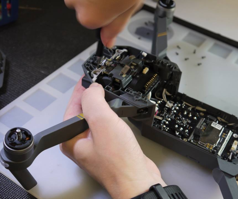
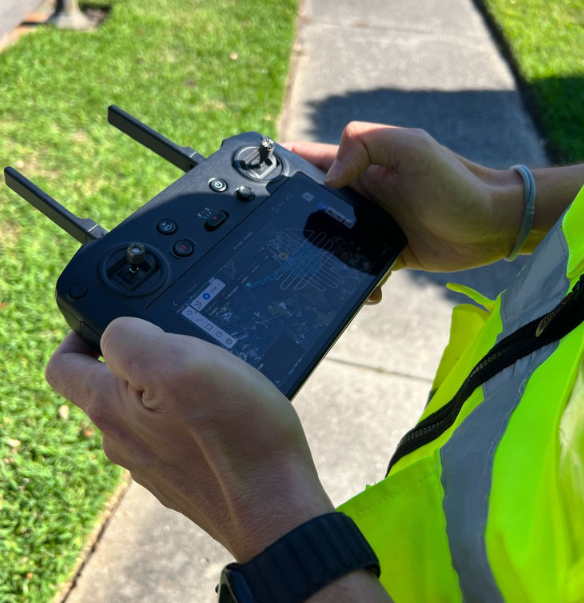
Social Media Content Creation

Photo, Video & Editing Services for Your Business 
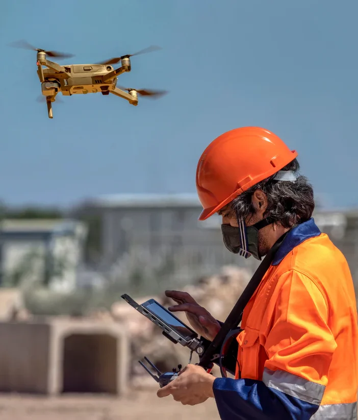
. We create, shoot, and edit powerful visual content tailored for social media. From engaging Reels and TikToks to polished images and aerial drone shots—everything your business needs to connect, grow, and convert online.

Why Sky Metrics?

Fast turnaround and HD quality

Certified drone pilots

Industry-specific reports

Affordable, scalable solutions

Safe, no-risk aerial inspections

Get a Custom Quote for Your Project

Let’s discuss how drone data can improve your operations.

If it's your first time, get a special benefit

Chat Icon